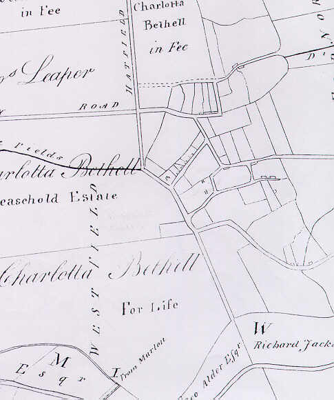
A map of Withernwick c 1805.
It shows most of the land is owned by the Bethell family, who lived at
Rise Hall.
The modern street layout is largely in place, although at this time there would be little distinction between roads and footpaths. So, for example, Butcher's Lane is shown as wide as High Street.
The only street names are Beverley Road and Hatfield Road.